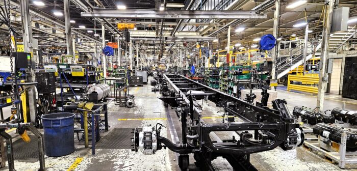
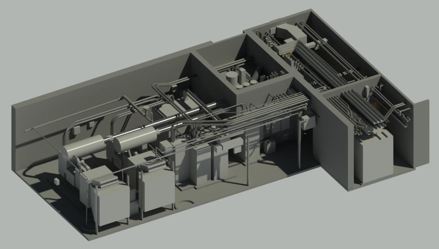
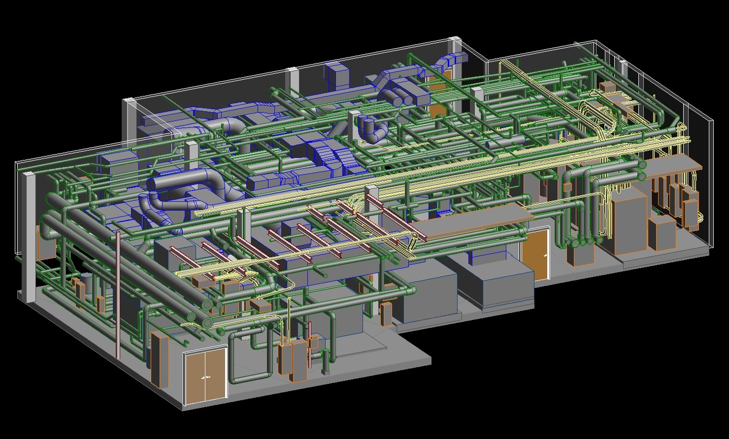
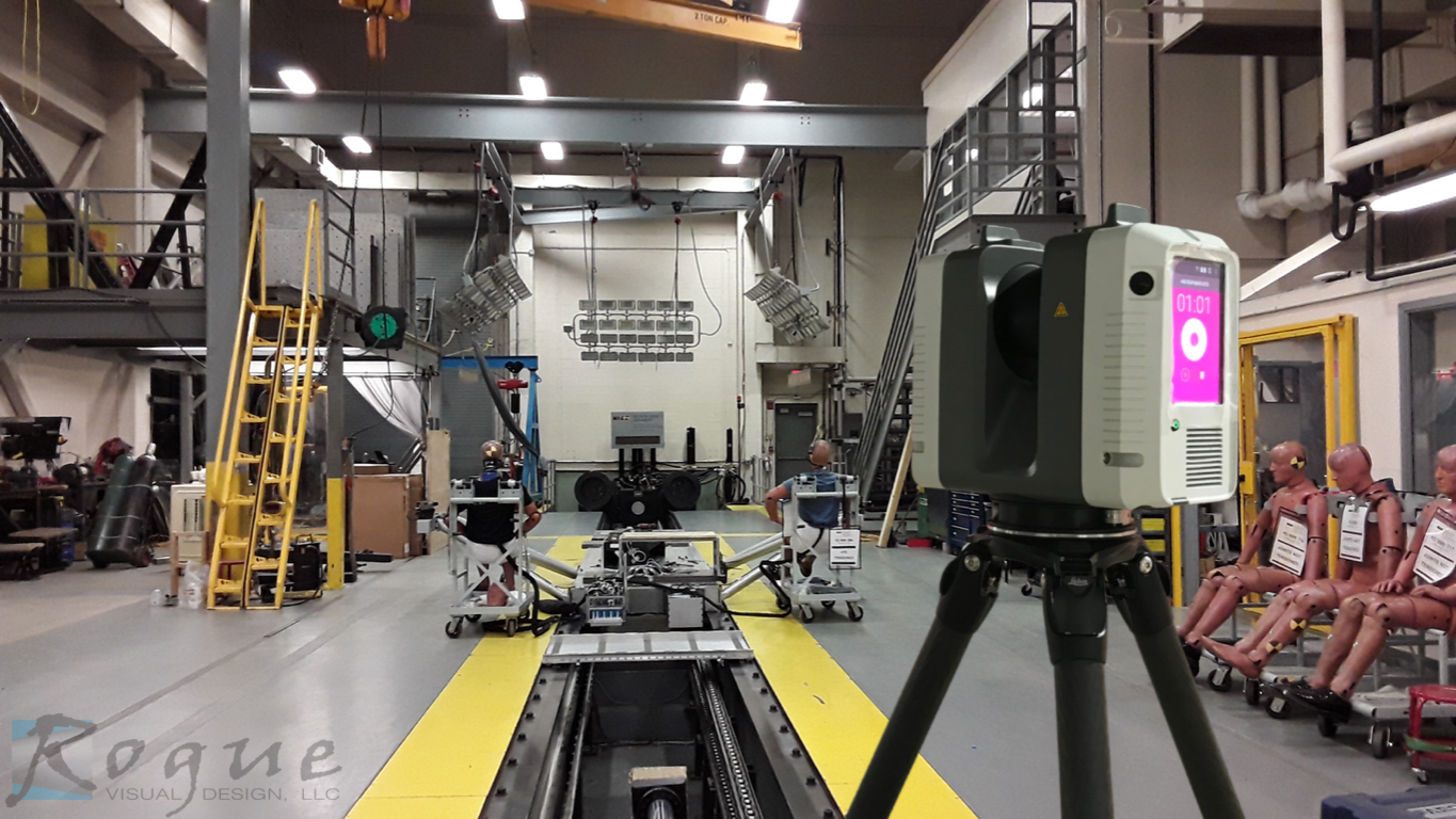
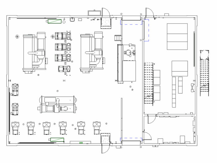
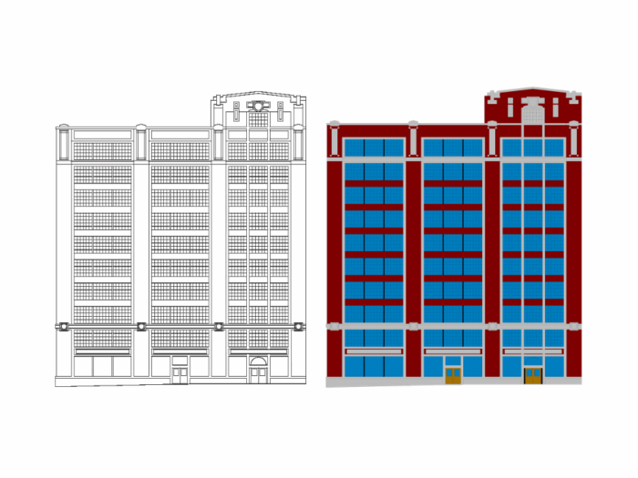
Industrial
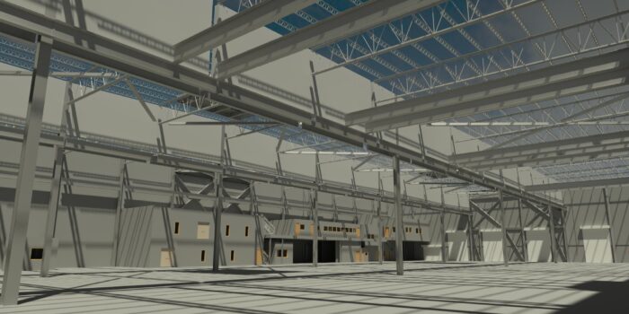
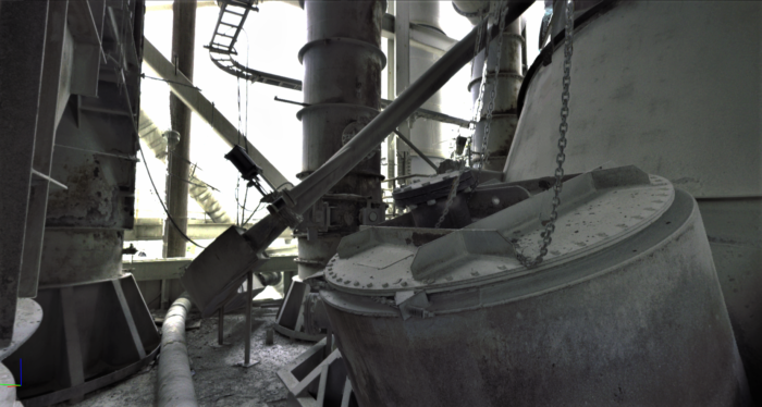
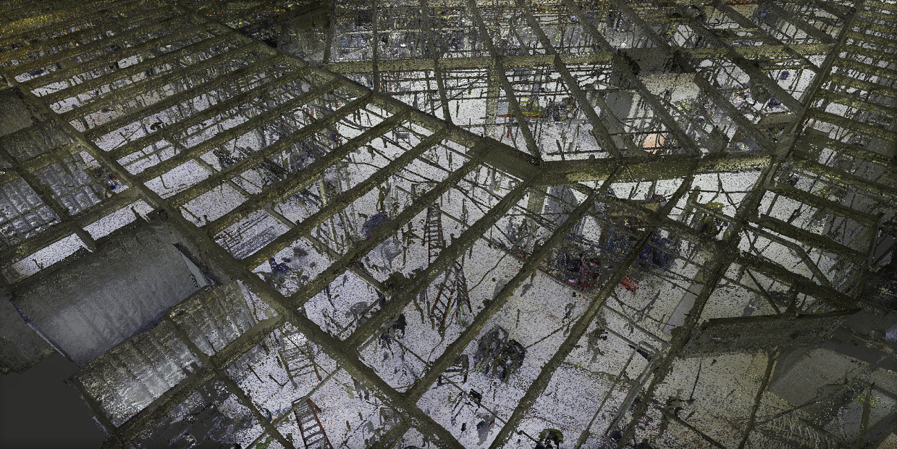
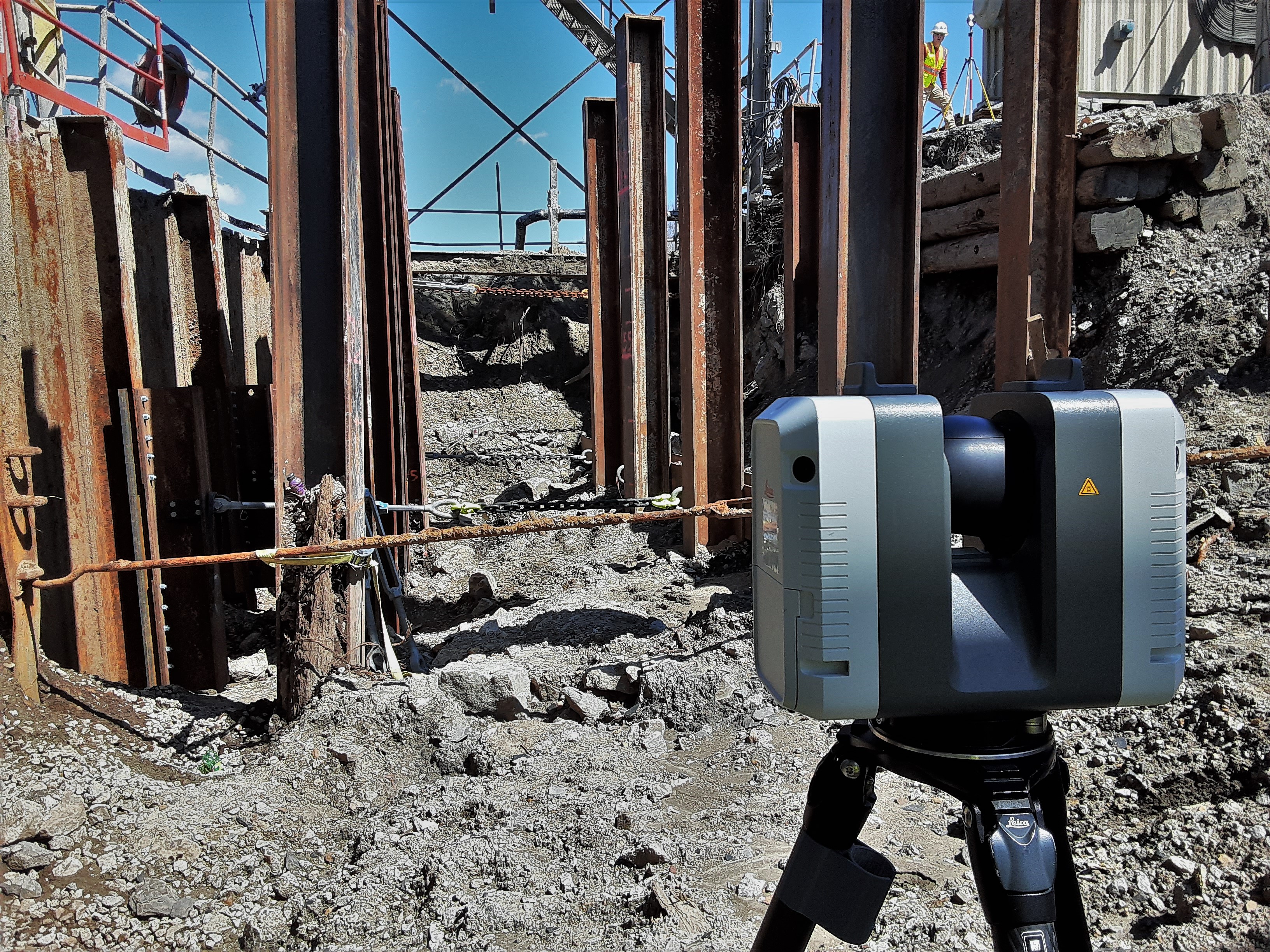
Clearances, clash risk, and retrofit planning in live facilities.
Choose a service tab. Use the left sidebar to jump to the exact task or industry.
Clearances, clash risk, and retrofit planning in live facilities.
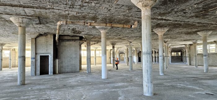
As-builts for TI scope, fast space verification and layout.
Unit plans, RCPs, and facade capture across multi-building sites.
Ornament + complex surface capture for restoration-grade documentation.
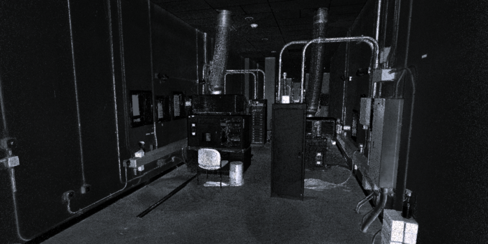
Night-schedule scanning, clean SOPs for active care environments.
Campus-wide documentation between terms to reduce disruption.
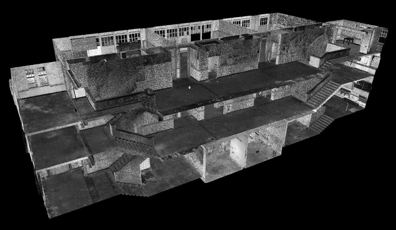
Sanctuary geometry, seating, and heritage features.
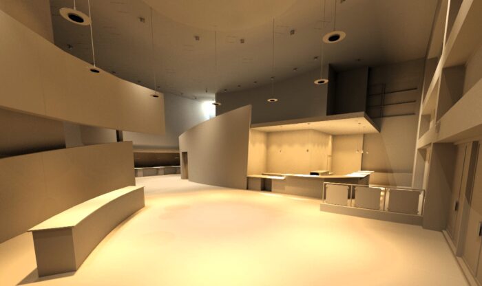
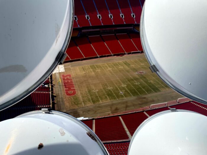
Venue-ready capture for production planning and retrofits.
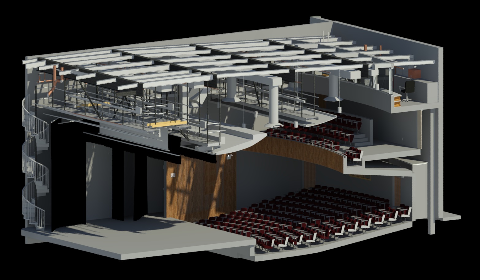
Fast-turn scans for stage, rigging, and audience flow.
Flexible venue capture for temporary build-outs and routing.
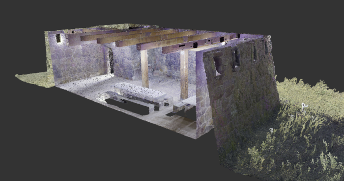
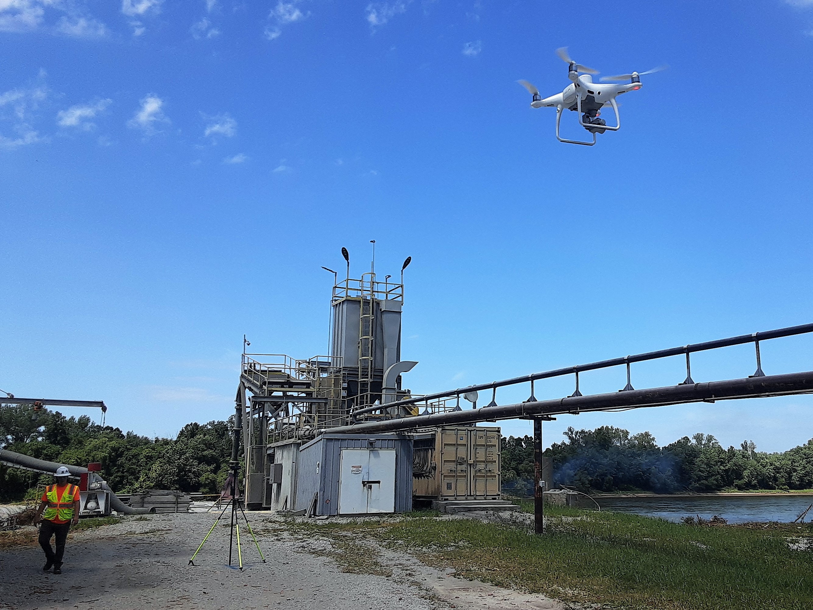
UAVs are an essential component of Rogue Visual Design's toolbox. Drones can easily inspect inaccessible locations and rapidly gather datasets for large regions. Blending the full repertoire of our reality capture technologies enables us to tackle projects that would otherwise be impossible to complete.
Our team combines highly accurate point cloud data from LiDAR/laser scanners with UAV/UAS photogrammetry to create dimensionally accurate aerial photographs or point clouds. These flying data collectors augment our terrestrial LiDAR capabilities nationwide.
A drone is an Unmanned Aerial Vehicle/System (UAV/UAS). These high-resolution, flying cameras complement our LiDAR 3D modeling capabilities. Drones offer two additional capabilities: photogrammetry (stitching thousands of photos together to triangulate points in 3D space) and orthomosaics (2D images like Google Earth, but without perspective distortion — ideal for site plans).
Our UAS services enhance site safety. Since drones operate from the air, our FAA Part 107 certified pilots gather data without personnel on ladders, scaffolding, or lifts. We can document a substation from 200 feet away, inspect a 130-foot spire, or fly into an abandoned ICBM launch tube with 100 feet of water at the bottom — crew safely on the ground throughout.
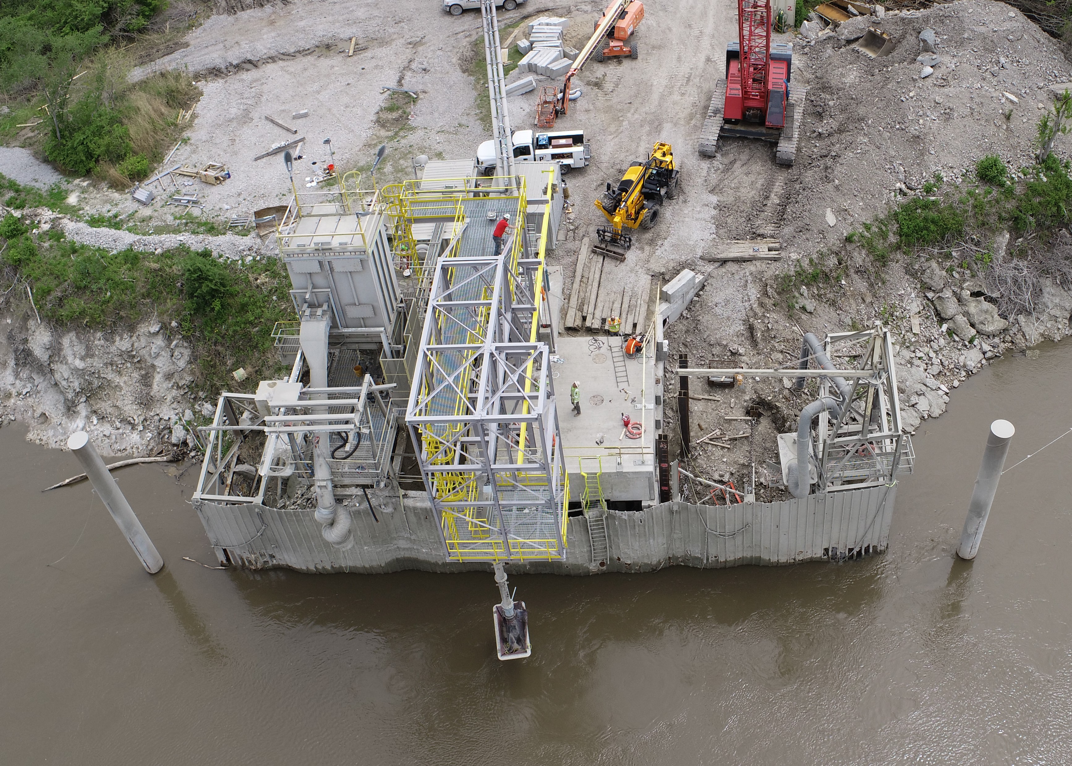
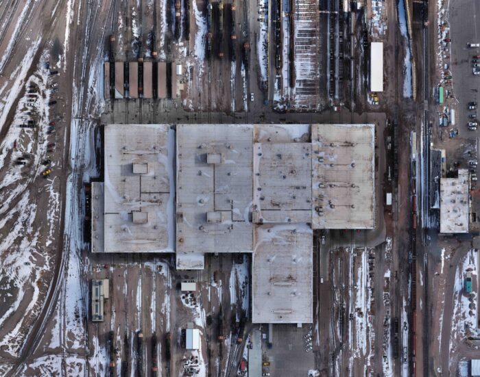
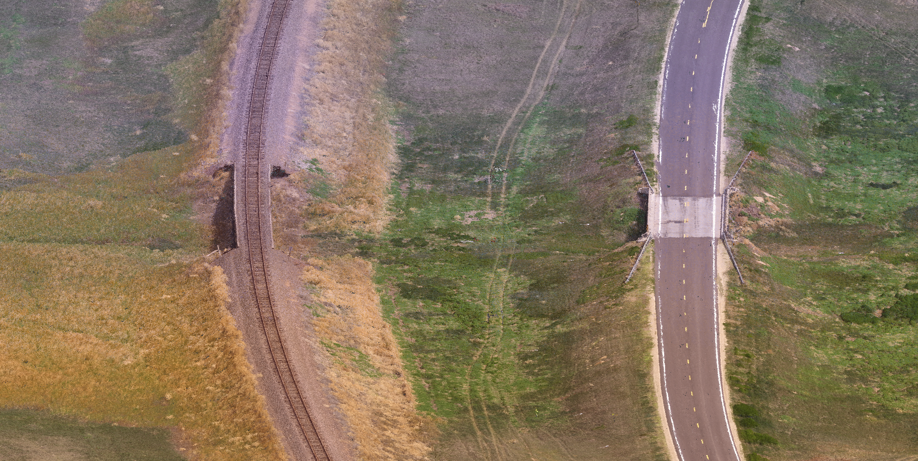
Corridor flights covering roads, bridges, and railroads under FAA-compliant flight plans. We deliver georeferenced imagery and point cloud data that supports design, inspection, and maintenance decisions across large-scale civil infrastructure.
Building, tower, utility, and roof inspections without scaffolding or lifts. Our pilots document progress and conditions from the air — faster, safer, and more complete than traditional ground-based methods.
Defensible stockpile calculations with ground control checkpoints and certified reports. Ideal for pay application verification and earthwork progress tracking across phased construction and mining operations.
High-resolution imagery scaled to your resolution requirements based on altitude. A drone can cover several million square feet in minutes — we documented nine apartment complexes in just over half an hour.
Georeferenced 2D images without perspective distortion — think Google Earth-quality imagery aligned to your site control. Deliverable as 2D orthomosaic photos and 2D CAD drawings for site plan backgrounds and design coordination.
Surface models, 3D contours, and TIN models derived from aerial capture. Delivers the grading data engineers need for early design without extensive ground survey mobilization.
Above-ground and exposed underground utility attributes captured for asset and field management systems. Data structured to your GIS schema for direct import.
Facade, roof, and envelope capture for diagnostic reviews and renovation planning. Pair with terrestrial LiDAR for a complete interior-to-exterior dataset — no return visits for missed geometry.
Low-impact aerial documentation for heritage sites, archives, and restoration-grade records. Captures complex exterior geometry and conditions without physical contact with sensitive structures.
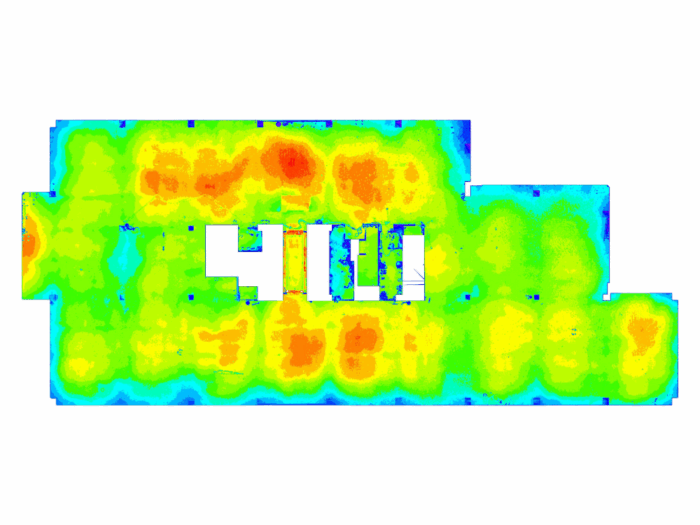
FF/FL analysis and heat maps where needed.
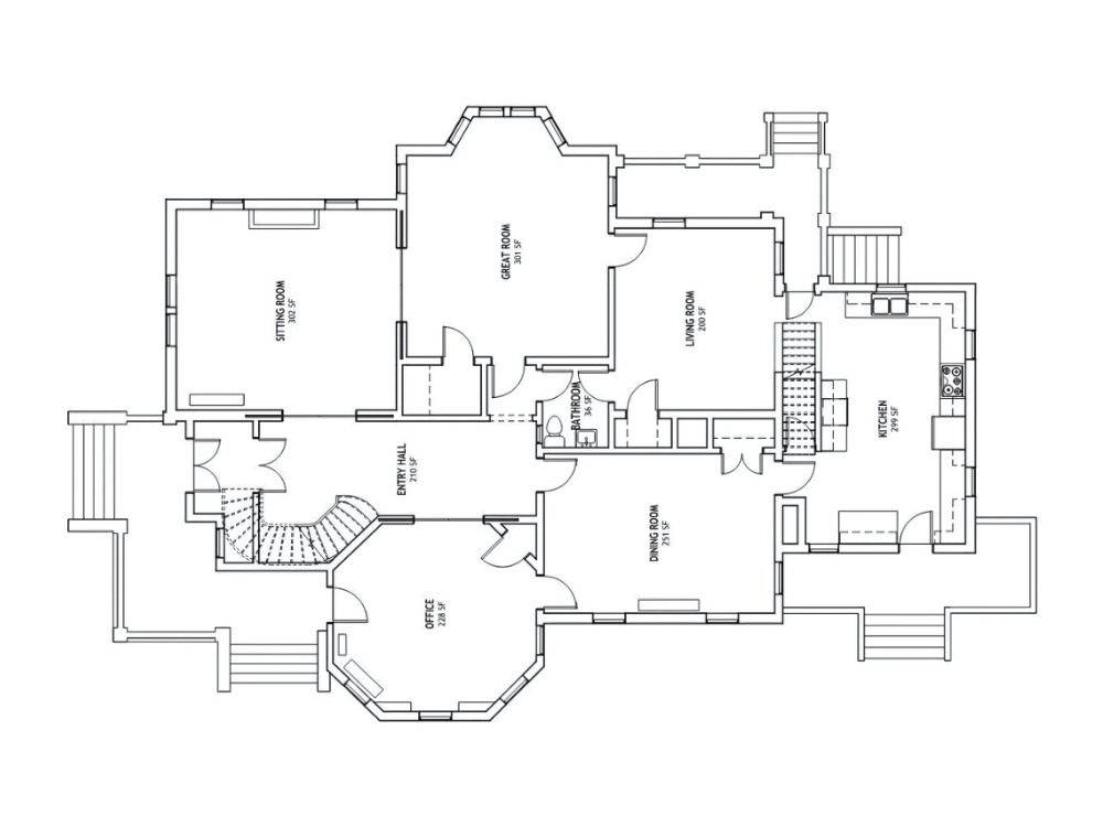
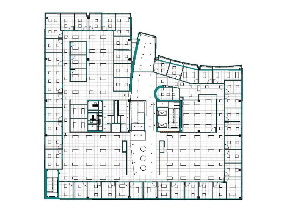
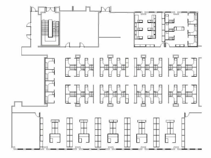
Verified layouts derived from capture.
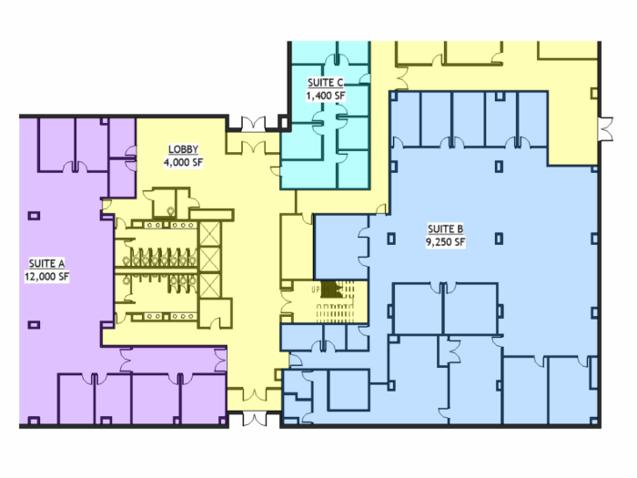
BOMA-aligned area summaries.
Fit studies and move planning.
Grid, device, and elevation coordination.
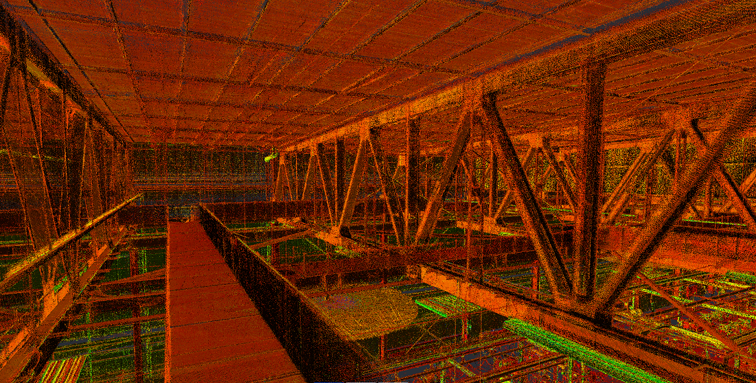
Critical clearances and routing.
Exterior conditions matched to photos and capture.
LOD-matched models with reality→model traceability.
Surfaces, grading, and context models.
Corridors, utilities, and structures for coordination.
Baseline documentation aligned to scopes and dates.
Milestone sets for status checks and reporting.
Final deliverables for turnover and warranty support.
Panoramas and walkthroughs for remote review.
Serials, plates, and device locations for audits.