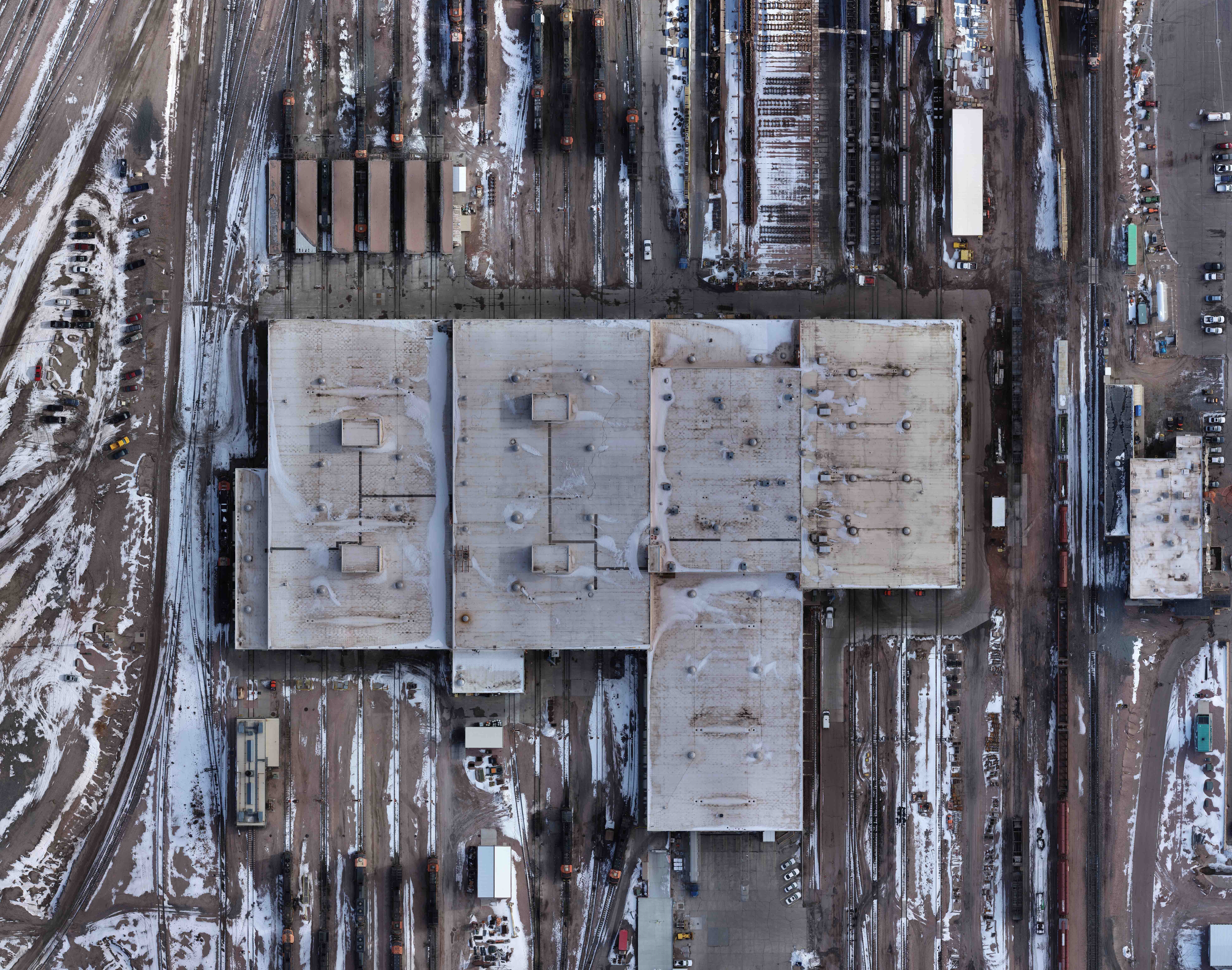
BNSF — Alliance, NE Rail Facility
LiDAR scanning and orthomosaic documentation of BNSF's heavy maintenance facility in Alliance, NE, delivering a Revit model for facility expansion planning.
October 2023
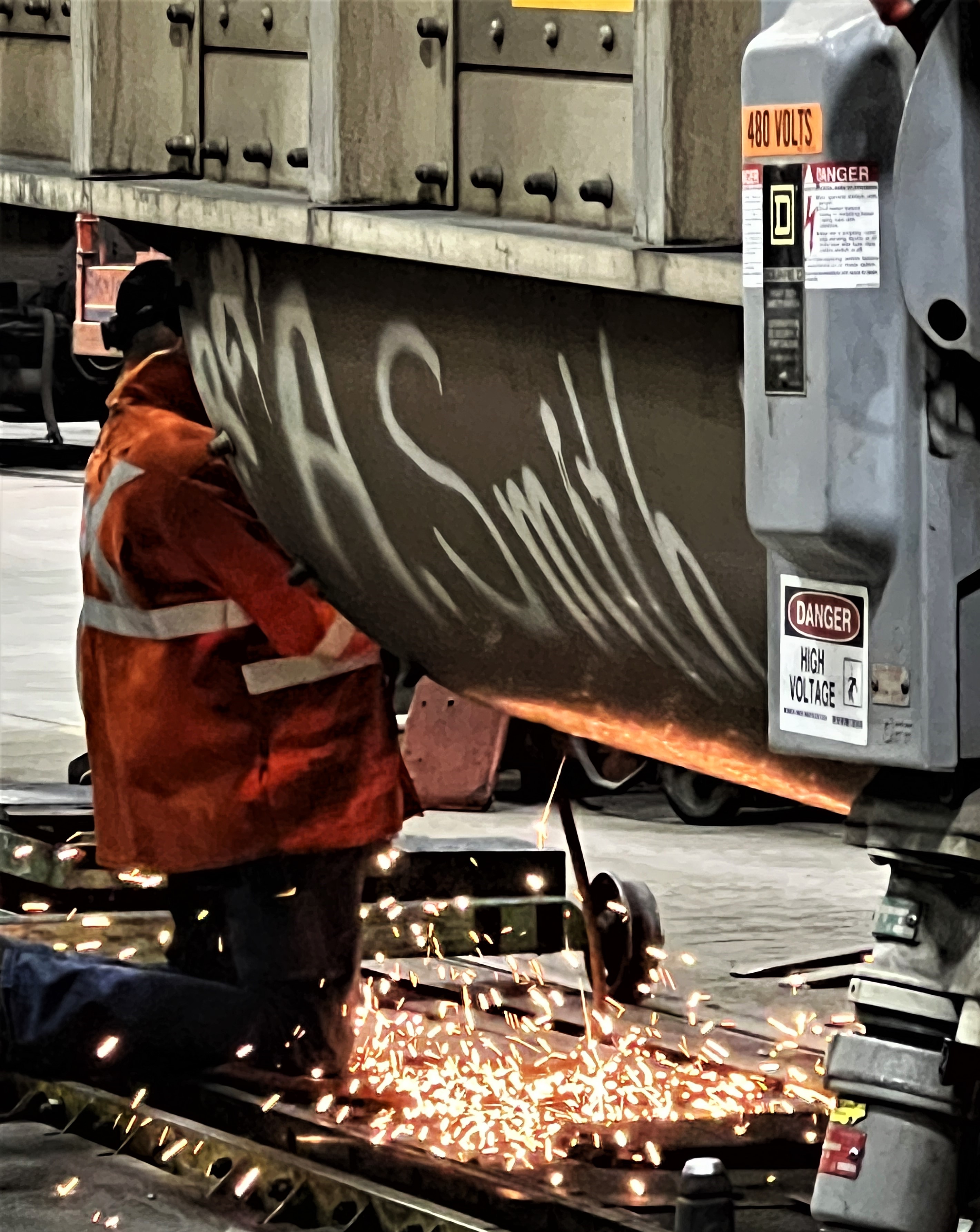
Over the past 170 years, nearly 400 railroads merged or were acquired to form the BNSF Railway. When it is time for maintenance, many diesel locomotives and coal cars operating on BNSF railroads today will pass through a repair facility in Alliance, Nebraska. A visit to the facility reveals that the Alliance shop performs brake replacement, oil changes, wheel replacement, and heavy diesel maintenance.

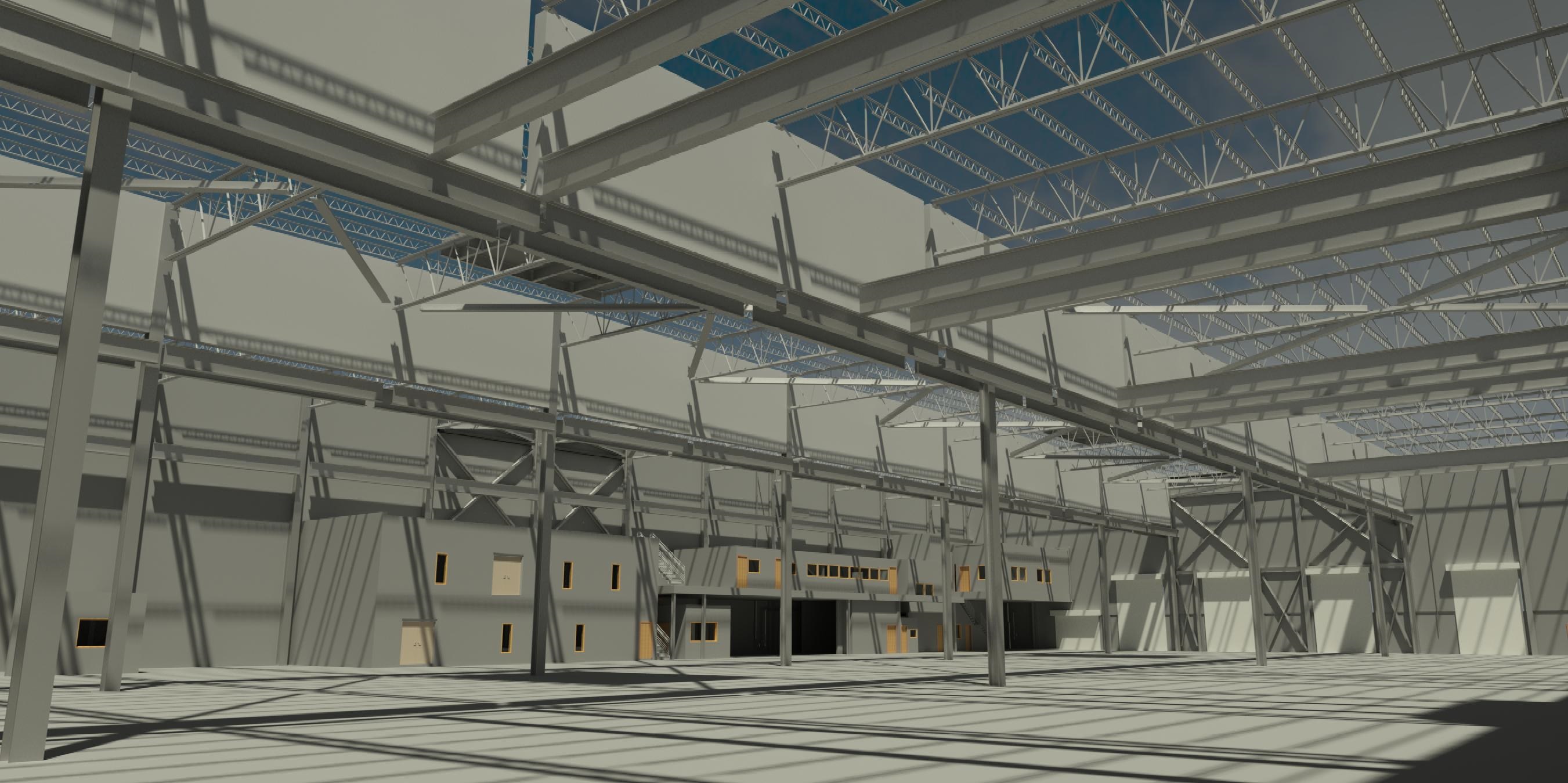
The task at hand for Rogue Visual Design might seem daunting for the inexperienced. We were charged with laser scanning more than 300,000 square feet of parts storage, numerous office spaces, repair shops, and maintenance bays with massive locomotives and rail cars moving through. Not content to stop there, the team flew a drone over roughly 60 acres of property surrounding the facility, collecting vast amounts of data. The flight combined with LiDAR scans of the structure provided the modelling team the information needed to create a detailed Revit model of the building's architectural, structural, and fire sprinkler systems.
Through our partnership, BNSF will benefit from the installation of a new fire suppression system. The integration of spatial data collected by our reality capture specialists into the Revit model offers a robust foundation for analysis. Engineers can identify potential obstructions, locate optimal system placement, and determine the most effective routing of pipes. The data also ensures systems are designed to meet safety regulations and address specific project requirements. This process identifies conflicts between fire suppression components and other building systems, such as electrical, HVAC, or structural elements. By resolving clashes during the design phase, costly and time-consuming modifications during construction can be avoided.
The amalgamation of Revit models, LiDAR scans, and drone technology provides a wealth of information that can be harnessed for performance optimization. By leveraging these powerful technologies, professionals can save valuable time and money throughout the project lifecycle — from accurate site documentation to streamlined design processes and improved construction site management.