Historic Northeast Lofts — Kansas City
Multi-building LiDAR capture of a historic WWII-era Kansas City complex for adaptive reuse planning.
June 2024
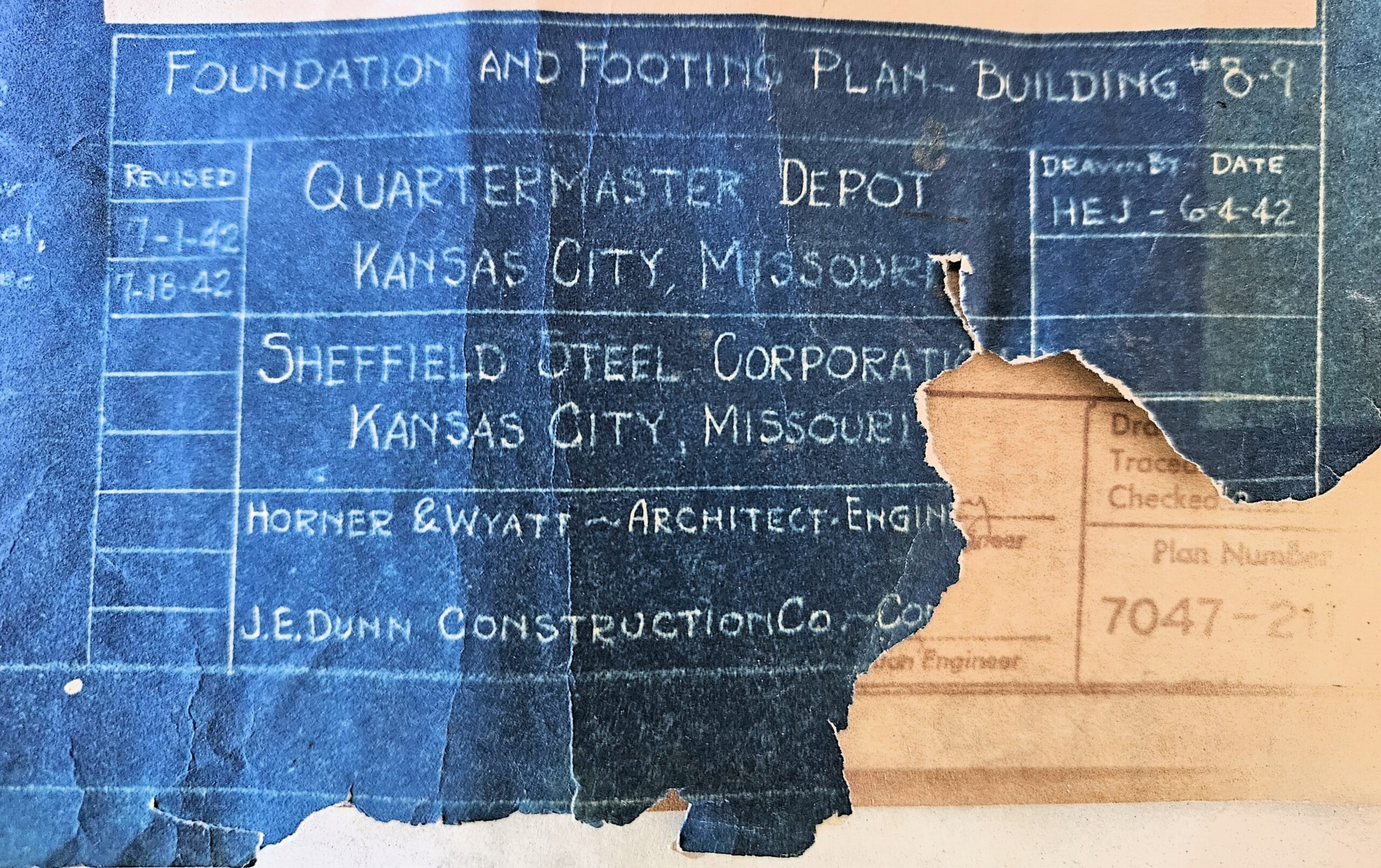
Located in the heart of Kansas City, MO, the Historic National Cloak and Suit Company property is ready for a new chapter. Built over 100 years ago, the main building once contained a hospital, cafeteria, rec room, courts and ground for sports, and more for the over 2,000 employees that worked there. Starting in World War II and continuing through 1953, the property served as a quartermaster's depot and included a unit for processing the personal items of our nation's fallen. In 1948, the adjutant general's department of the Army established the Kansas City Records Center there. Following a feasibility study in 1977, the General Services Administration deemed the building unusable and abandoned the site. For the past few decades, it has served as a self-storage center.
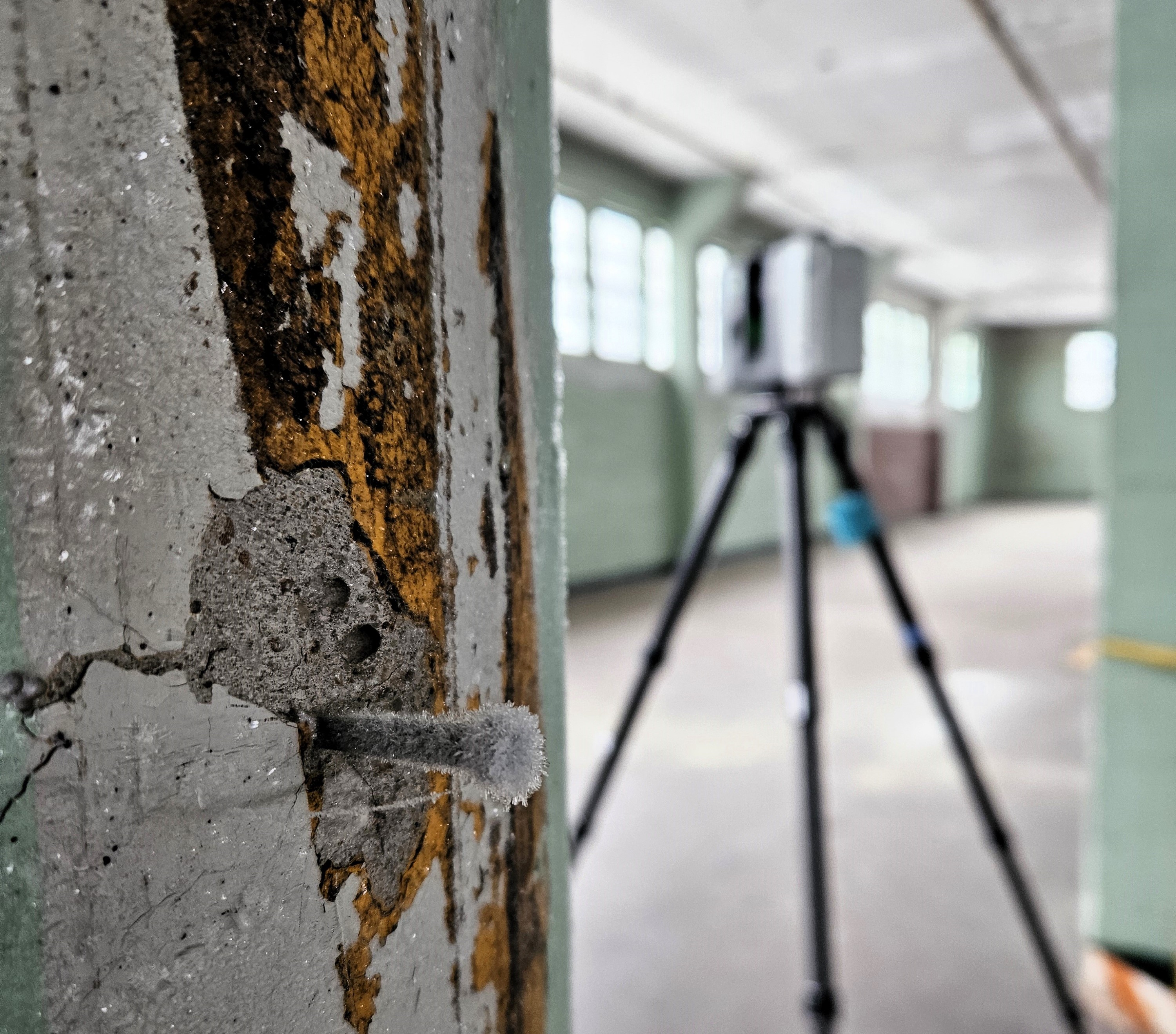
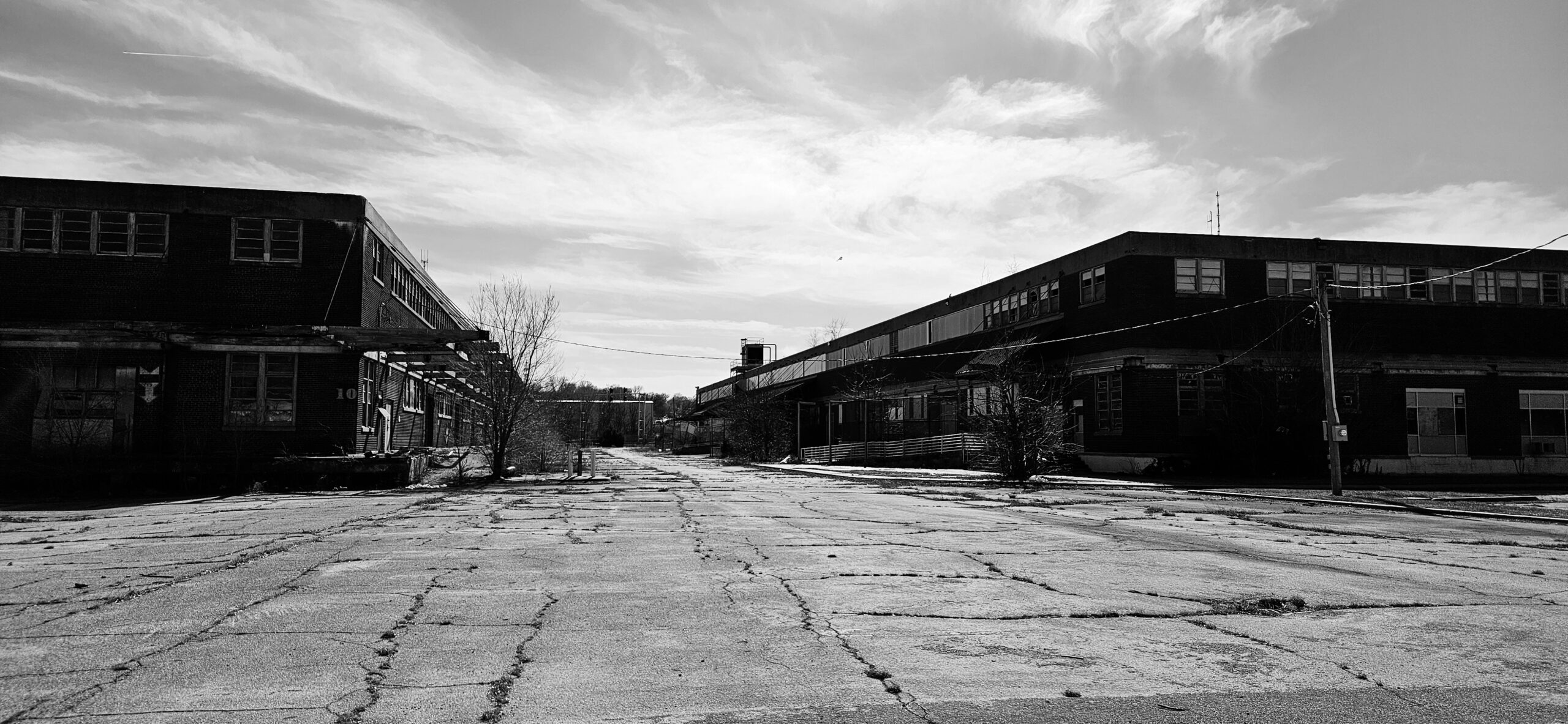
Now shadows of their former selves, the 7 buildings across the 22-acre property presented numerous challenges for Rogue Visual Design's reality capture teams. Each day began with a thorough safety check of the areas to be documented. Standing water, ice, large open shafts, interior vegetation, thousands of dead birds, subzero temperatures, and cavernous spaces engulfed in darkness all presented unique risks which needed to be planned for. Numerous UAS/drone flights and several scanning teams crisscrossed the site methodically documenting each building inside and out.
The LiDAR data, Revit models, and orthomosaic images Rogue delivered to the design team provided precise existing site conditions. Our RTC360 laser scanner pierced the darkness and dilapidation. Photos from our aerial drone were processed into an orthomosaic site map and orthomosaic elevations of the 12-story main building's exterior walls. Rogue's work saved the project stakeholders an incalculable amount of time and money. They were not required to make numerous site visits, spend hundreds of hours measuring, or construct scaffolding to conduct a preliminary inspection of the building's exterior. Rogue's expertise and experience offered the necessary lifeline.