Smoky Hill Drainage — UAV Survey
UAV photogrammetry and LiDAR scanning of the Smoky Hill drainage corridor delivering point clouds and orthomosaic imagery for civil engineering analysis.
April 2022
LiDAR is now regularly used to create the most detailed topographic maps of the earth's surface. While airborne LiDAR and photogrammetry are preferred for some projects, stationary terrestrial LiDAR scanners are also able to create these maps and are the ideal scanning technology to use when highly accurate topographic or contour maps are needed.
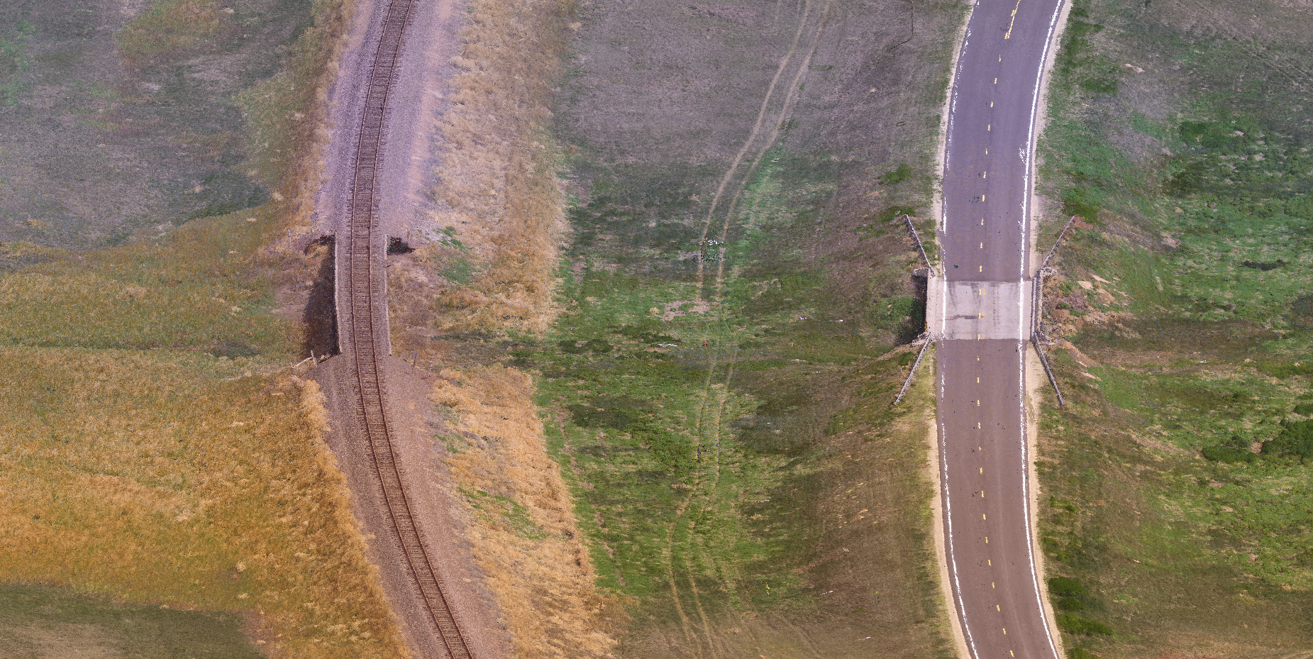
Our recent work for the Kansas Department of Transportation (KDOT) illustrates our ability to provide extremely detailed LiDAR scans for civil engineering projects. In 2021, a surveying company working on a bridge replacement project contacted our Rogue Visual Design team to provide comprehensive scans for a proposed project on Highway 40 in western Kansas. It included a railroad and rail bridge over a tributary just upstream of the highway bridge being replaced. Both bridges carried traffic over a dry tributary of the Smoky Hill River that sometimes flooded during seasonal rains. The engineering team needed to understand how the traffic ways interacted with the local drainage system to appropriately design the new bridge. Most importantly, KDOT needed very accurate measurements of the railroad's rail profile 1,000 feet in either direction of the two parallel bridges — precision only possible with 3D laser scans.
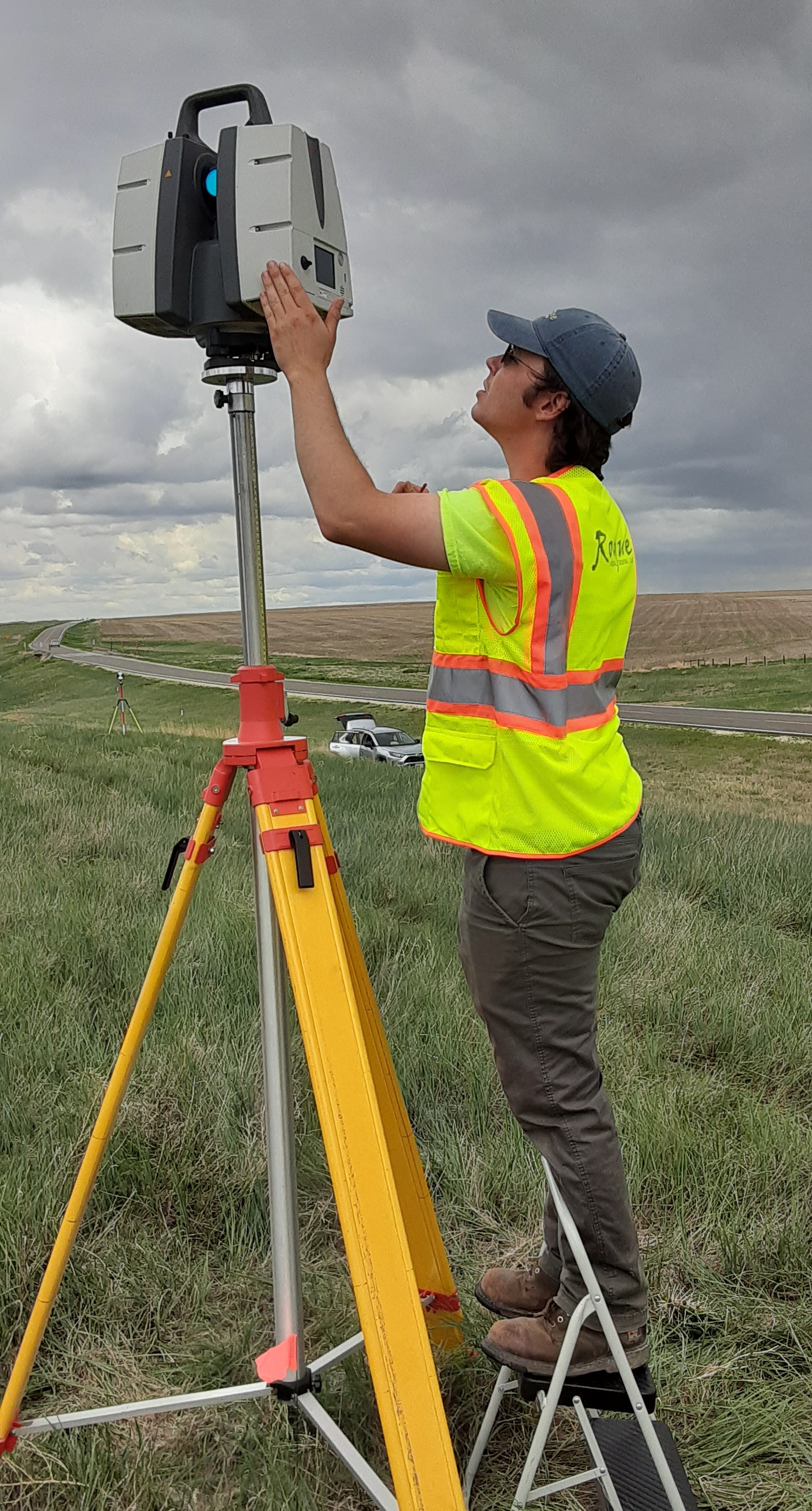
Civil or topographic scanning can be challenging with a railway involved. Rogue Visual Design's team was not permitted onto the railroad property for safety reasons, yet still had to capture the exact profile of the rails in the 3D laser scans. Our experienced LiDAR crew completed the task in a single day, utilizing a telescoping tripod and high elevation locations to scan over 2,000 feet of the railroad. The team then brought in our UAS drone to fill in any missing areas not visible in the LiDAR scans due to vegetation, berms, or the southern rail. As with all outdoor projects, weather is a potential factor — our scanning crew and equipment worked through several rain showers that day. We processed and hand-delivered the scans and drone data within five days of completing the on-site work.